- For Sale $311,280
- Property Type VacantLand
- Units 4
- Lot Size 37.77 Acre
- Date Updated Nov 18, 2024
Reach out to the broker for more info on lease terms and amenities
Attachments
Highlights
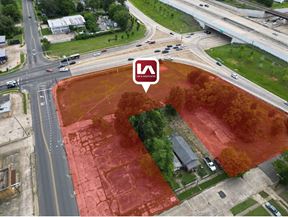
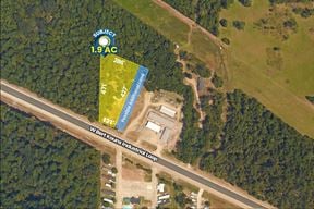
- 37+/- acres
- Located on highly traveled east to west corridor
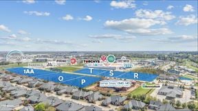
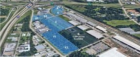
- Owner will consider subdividing and selling part. Price to be negotiable
- Located near numerous commercial and industrial businesses, as well as residential communities
- Less than 5 miles from I-20
- Less than 8 miles from Shreveport Regional Airport
False
Contacts
Location
Getting Around
-
Walk Score ®
1/100 Car-Dependent
-
Bike Score ®
25/100 Somewhat Bikeable
- City Shreveport, LA
- Neighborhood Airport - Pines Road
- Zip Code 71129
Points of Interest
-
Shell
2.99 miles
-
Murphy USA
3.08 miles
-
Petro
3.27 miles
-
Valero
3.38 miles
-
RaceWay
3.42 miles
-
Circle K
3.49 miles
-
Exxon
3.70 miles
-
Brookshire's Gas
3.80 miles
-
Tesla Supercharger
8.51 miles
-
Quick Park
4.29 miles
-
Short Term Parking
4.29 miles
-
Long Term Parking
4.32 miles
-
Staff Parking
8.17 miles
-
Patient Parking
8.21 miles
-
Reserved Patient Parking
8.22 miles
-
Sleep Inn & Suites I-20
3.06 miles
-
Wingate by Wyndham Shreveport Airport
3.08 miles
-
La Quinta Inn & Suites Shreveport Airport
3.15 miles
-
Comfort Suites Shreveport West I-20
3.17 miles
-
Courtyard Shreveport Airport
3.29 miles
-
Motel 6 Shreveport, LA
3.33 miles
-
Hilton Garden Inn Shreveport
3.34 miles
-
WoodSpring Suites Shreveport Airport
3.56 miles
-
Red Roof Inn
3.58 miles
-
Ramada Shreveport Airport
3.61 miles
-
The Great Wall
2.61 miles
-
Pizza Hut
2.83 miles
-
Raising Cane's
2.86 miles
-
KFC
2.87 miles
-
Taco Bell
2.90 miles
-
Whataburger
3.00 miles
-
Wingstop
3.01 miles
-
Wendy's
3.01 miles
-
McDonald's
3.02 miles
-
Burger King
3.05 miles
-
Long Sycamore School
1.93 miles
-
Walnut Hill Elementary and Middle School
2.13 miles
-
Walnut Hill Elementary/Middle School
2.16 miles
-
Evangel Christian Academy School
2.16 miles
-
Turner Elementary and Middle School
2.80 miles
-
Fairview School
2.81 miles
-
Evangel Christian Academy Elementary School
2.89 miles
-
Turner Elementary/Middle School
2.93 miles
-
Colquitt Christian Academy School
3.09 miles
-
Huntington High School
3.11 miles
-
Learn & Play Child Center
6.76 miles
-
Galilee Baptist Church Child Care Center
9.03 miles
Looking for more in-depth information on this property? Find property characteristics, ownership, tenant details, local market insights and more. Unlock data on CommercialEdge.

Sealy Real Estate Services


